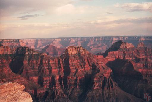
Bright Angel Point. The lodge is located on Bright Angel Point (somewhat back from the point itself, but still on the very narrow ridge leading to the point). On one side is Roaring Springs Canyon (and Bright Angel Creek, with the North Kaibab Trail). On the other side is the Transept Canyon.
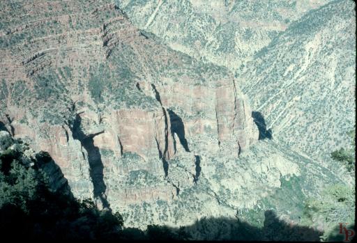
Toward the bottom you can almost see the water from Roaring Springs. The park water system starts here with a pipe running to the South Rim via Phantom Ranch and Indian Gardens.
Bright Angel Point. It seems that you can almost touch the South Rim across the Canyon, but it is a long walk (most people take at least 2 days) or a long (215 miles) drive. There is a shuttle that connects the two areas in the summer.
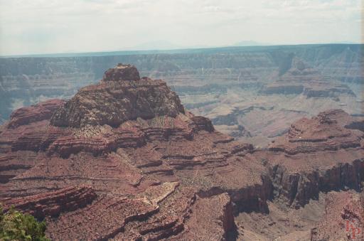
Cape Royal, North Rim Grand Canyon. The last viewpoint at the end of the Walhalla Plateau on the Cape Royal road. This is the view to the South Rim and beyond. You pass Angels Window on the way to Cape Royal itself.
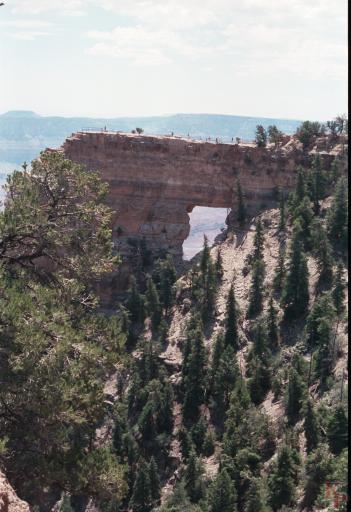
Angels Window, North Rim, Grand Canyon. An arch (there is no stream underneath to make it a natural bridge). At the end of the Cape Royal Road.
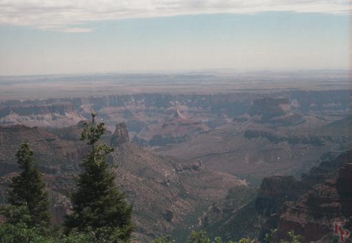
Imperial Point view east to the Painted Desert. On the Wahalla Plateau drive you reach the edge of the high part of the Colorado Plateau with views across the Colorado River to the Painted Desert region of eastern Arizona.